
GLRI Phragmites Decision Support Tool Mapper
Material type: TextPublisher: United States Geological Survey Content type:
 - text
- unmediated
- volume
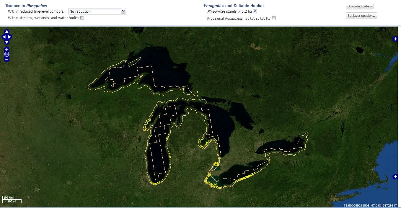
United States Geological Survey, MichiganTech Research Institute, U.S. Fish and Wildlife Service, and the Great Lakes Phragmites Collaborative have leveraged Great Lakes Restoration Initiative (GLRI) funding to create the Phragmites Decision Support Tool Mapper. This web-based mapping tool was designed to help Great Lakes coastal managers develop effective phragmites control and invasion prevention programs by allowing users to create maps which shows existing phragmites stands (0.2 hectares or larger), suitable habitat areas that are not yet invaded, and likely invasion pathways based on current conditions or reduced water level conditions.
Staff. Public.
Protected by copyright law.
There are no comments on this title.